Barentrek
Photo © JoachimKohler HB
7-11 days
146.9 km
9250 m
2737 m
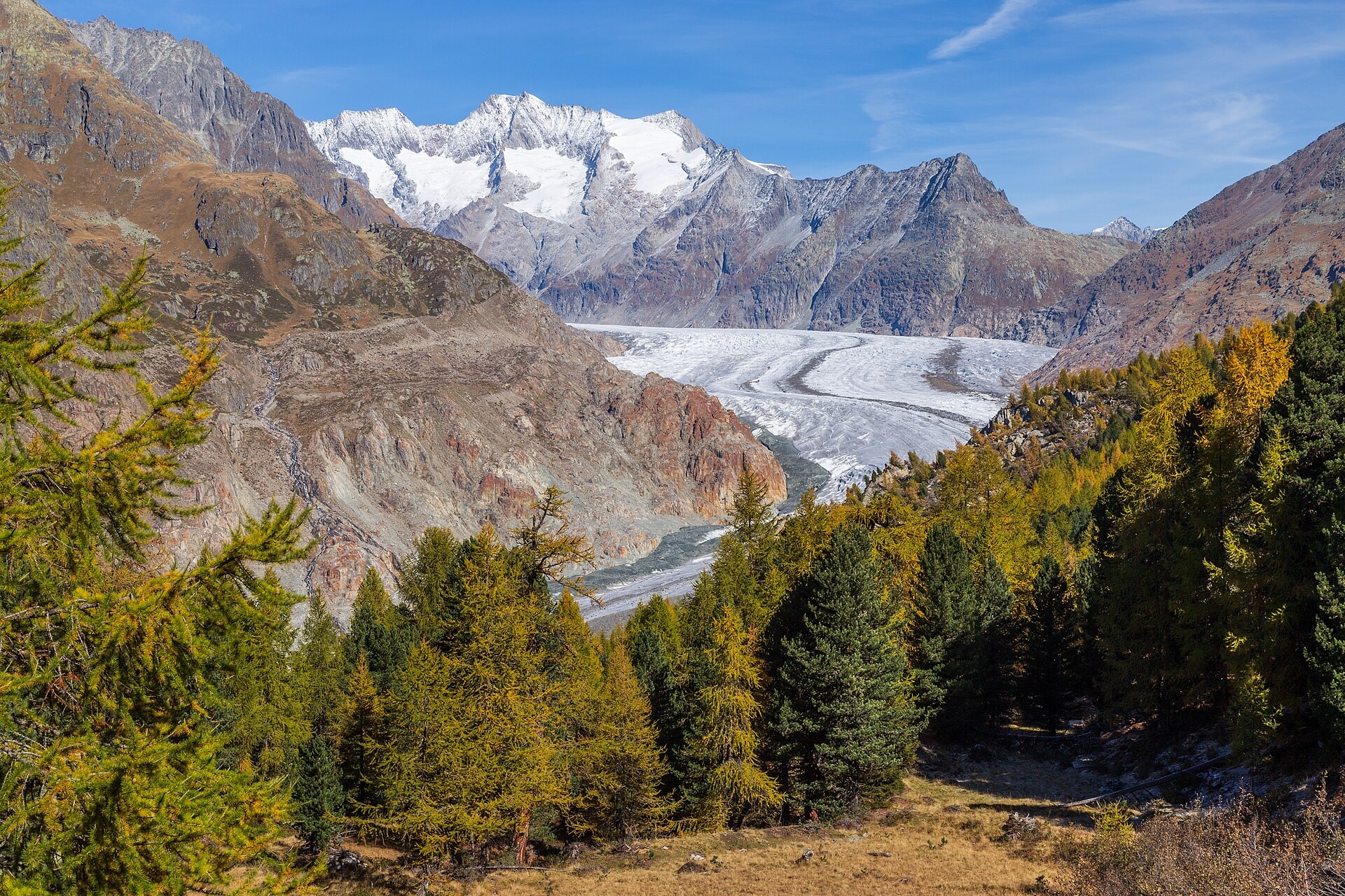
The Barentrek is a 146.9 km hiking route crossing the canton of Berne, in Switzerland. The trail winds through varied landscapes made up of summits, cliffs, ridges, lakes, forests and valleys, reaching a maximum altitude of 2,737 m. With a cumulative positive elevation gain of 9,250 m, the route offers a gradual immersion into the different levels of the Swiss alpine landscape, from wooded valley floors to ridges and summits.
Stages
| Departure | Arrival | Accommodation on arrival | Profile | Duration | Distance | +Elev. | −Elev. |
|---|---|---|---|---|---|---|---|
1 HüsenTown | SchwarzwaldalpHotel | 4h15 | 10.2 km | +873 m | −14 m | ||
2 SchwarzwaldalpHotel | giteLodge | 4h45 | 15.1 km | +662 m | −1,007 m | ||
3 giteLodge | Hostel SonnenhofHotel | 5h00 | 13.5 km | +946 m | −714 m | ||
4 Hostel SonnenhofHotel | SpielbodenalpHut | 4h45 | 11.8 km | +1,014 m | −566 m | ||
5 SpielbodenalpHut | GriesalpHamlet | 5h00 | 14 km | +802 m | −1,185 m | ||
6 GriesalpHamlet | BlüemlisalphütteHut | 16h00 | 40.7 km | +3,125 m | −1,800 m | ||
7 BlüemlisalphütteHut | Hinder de BüeleHamlet | 3h15 | 13.8 km | +68 m | −1,582 m | ||
8 Hinder de BüeleHamlet | SchönbühlHamlet | 5h15 | 12.4 km | +1,135 m | −1,052 m | ||
9 SchönbühlHamlet | LenkTown | 5h00 | 15.4 km | +740 m | −976 m |
Elevation profile
How to get there
Public transport
Fully accessibleThe Bärentrek is accessible by public transport. The starting point at Meiringen is served by train from Interlaken and Lucerne, while the finishing point at Lenk has a station connected to the Swiss rail network via Zweisimmen and Spiez.
By car
Explore