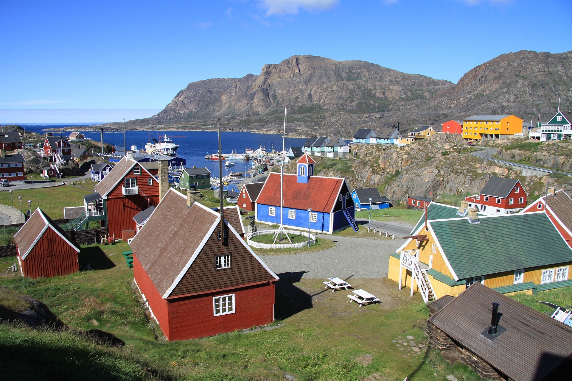
Arctic Circle Trail
Photo © Chmee2:Valtameri
10-15 days
347.3 km
2876 m
487 m
The Arctic Circle Trail is a 347.3 km route crossing Greenland (Kalaallit Nunaat), between summits, cliffs, lakes and coastline. This long wilderness trail follows coastal and inland landscapes characteristic of the Arctic region, offering an immersion into rarely visited environments. The route travels between modest high points, with the highest point reaching an altitude of 487 m, with lakes regularly punctuating the trail. The path stretches across varied terrain, alternating between cliff-edge passages and coastal areas. This is a long-distance trek, to be approached with careful logistics in an isolated environment.
Stages
| Departure | Arrival | Accommodation on arrival | Profile | Duration | Distance | +Elev. | −Elev. |
|---|---|---|---|---|---|---|---|
1 SisimiutTown | Old CampLodge | 42h30 | 166.1 km | +2,492 m | −2,506 m | ||
2 Old CampLodge | KangerlussuaqTown | 0h30 | 2.7 km | +12 m | −0 m | ||
3 KangerlussuaqTown | km 347 | — | 41h00 | 178.5 km | +578 m | −595 m |
Elevation profile
How to get there
Public transport
Fully accessibleThe Arctic Circle Trail is accessible by public transport to both its endpoints, but a boat must be used to reach the start of the trail. The starting point at Kangerlussuaq is accessible by plane, after which a boat crosses the fjord to the beginning of the trek. The finish at Sisimiut is directly connected to Greenland's air and maritime network.
By car
Explore