Snow-covered trail
FrequentSnow-covered trail
25-50% chance
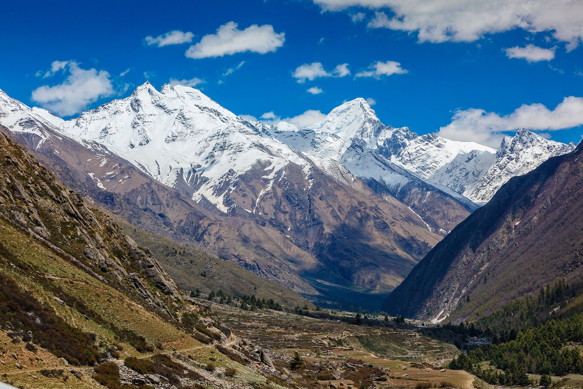
Photo © Adventure pulse trekkers
8-13 days
218.4 km
8855 m
5407 m
Le Tour des Annapurnas (Annapurna Circuit) est l'un des treks les plus célèbres du monde, au cœur de la chaîne de l'Annapurna au Népal. Cet itinéraire de haute montagne traverse des vallées profondes, des villages traditionnels et des paysages himalayens spectaculaires, avec le passage du célèbre col du Thorong La à 5 416 mètres d'altitude. Le Tour des Annapurnas est une référence incontournable pour les amateurs de trekking, de randonnée itinérante et d'aventure en Himalaya.
| Departure | Arrival | Accommodation on arrival | Profile | Duration | Distance | +Elev. | −Elev. |
|---|---|---|---|---|---|---|---|
1 BesisaharTown | hameauHamlet | 6h15 | 21.7 km | +635 m | −285 m | ||
2 hameauHamlet | NacheVillage | 6h30 | 18.7 km | +1,002 m | −301 m | ||
3 NacheVillage | ChameVillage | 6h00 | 16.6 km | +1,060 m | −187 m | ||
4 ChameVillage | GhyaruHamlet | 6h45 | 17 km | +1,302 m | −322 m | ||
5 GhyaruHamlet | GunsangVillage | 6h15 | 19.5 km | +848 m | −686 m | ||
6 GunsangVillage | Thorong High CampHamlet | 6h15 | 15.3 km | +1,292 m | −44 m | ||
7 Thorong High CampHamlet | KāgbeniVillage | 5h15 | 20.8 km | +307 m | −2,519 m | ||
8 KāgbeniVillage | KobangVillage | 6h15 | 25.9 km | +234 m | −558 m | ||
9 KobangVillage | LigmaVillage | 6h15 | 26.3 km | +133 m | −1,264 m | ||
10 LigmaVillage | SwantaVillage | 6h15 | 16.6 km | +1,159 m | −230 m | ||
11 SwantaVillage | NayapulVillage | 5h30 | 19.9 km | +531 m | −1,862 m |
Elevation profile
Click a month to view details
Each percentage is the probability of encountering the event at least once during the month, not its intensity or the share of the trail affected. Probabilities are calculated from weather and satellite data* from the last 10 years.
Snow-covered trail
25-50% chance
Cold nights
Minimums around ~ -4°C on high points
Cold nights
Significant rain
5-10% chance
Storm-prone conditions
10-20% chance
Dry conditions
5-10% chance
Snow detail within the month
Early
Frequent25-50% chance that the trail is snow-covered
Mid
Occasional10-25% chance that the trail is snow-covered
Late
Frequent25-50% chance that the trail is snow-covered
Sources: Open-Meteo and MODIS satellite data.
Public transport
Fully accessibleLe Tour des Annapurnas est accessible en transports en commun depuis Kathmandu. Les randonneurs prennent généralement un bus jusqu'à Besisahar, point de départ historique du trek, puis rejoignent parfois Chame en jeep partagée. À la fin du parcours, des bus relient Nayapul ou Jomsom à Pokhara, puis Pokhara à Kathmandu.
More informationBy car
Explore