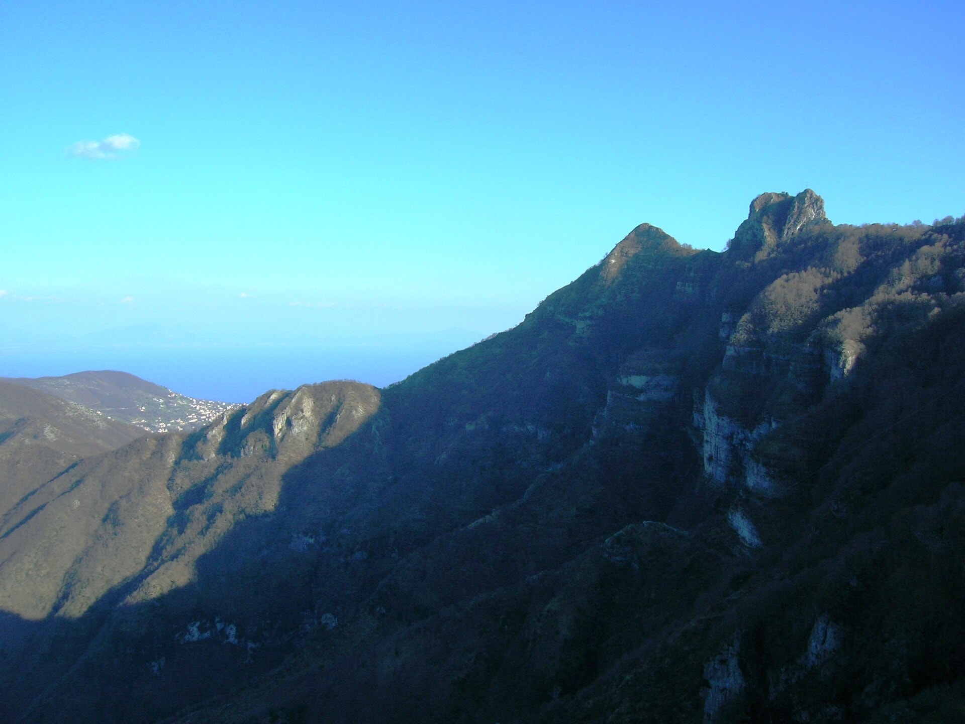
Alta Via Dei Monti Lattari
Photo © Mentnafunangann
3-5 days
70.8 km
3646 m
1375 m
The Alta Via dei Monti Lattari is a 70.8 km hiking route that crosses the Sorrento Peninsula in Campania, Italy. The route follows the ridges and summits of the Monti Lattari range, offering views of the coastline and allowing hikers to walk along the characteristic cliffs of this massif. The route also passes through forests and vineyards, and in places runs along coastal areas with beaches, as well as passing near caves. The highest point of the trek reaches an altitude of 1,375 metres.
Stages
| Departure | Arrival | Accommodation on arrival | Profile | Duration | Distance | +Elev. | −Elev. |
|---|---|---|---|---|---|---|---|
1 Cava de' TirreniTown | PolvicaVillage | 5h45 | 14.6 km | +1,078 m | −528 m | ||
2 PolvicaVillage | AgerolaTown | 6h15 | 18.3 km | +952 m | −898 m | ||
3 AgerolaTown | Piano di SorrentoTown | 6h45 | 20 km | +1,018 m | −1,645 m | ||
4 Piano di SorrentoTown | Massa LubrenseTown | 6h15 | 17.9 km | +1,044 m | −1,054 m |
Elevation profile
How to get there
Public transport
Fully accessibleThe Alta Via dei Monti Lattari is accessible by public transport thanks to the excellent connections along the Amalfi Coast and the Sorrento Peninsula. The official starting point at Cava de' Tirreni is served by regional and InterCity trains from Naples and Salerno. The finishing point is located at Punta Campanella, accessible by bus from Termini, and then connected to Sorrento, from where trains on the Circumvesuviana line allow you to reach Naples. Several villages along the route, such as Scala, Agerola, Positano and Colli di San Pietro, are also served by buses, making it easy to access different sections of the trek.
By car
Explore